| Back | Next |
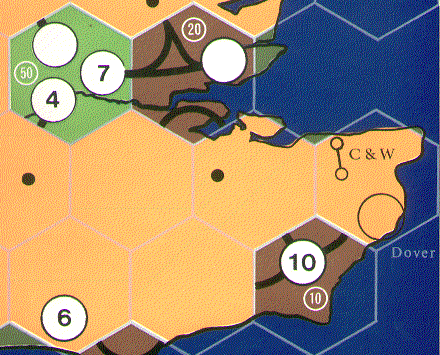 This shows the South East corner of the map board. Compare this with the
1825 map and you will see a number of
changes in both the design and production.
This shows the South East corner of the map board. Compare this with the
1825 map and you will see a number of
changes in both the design and production.
This page is maintained by Chris Lawson (chris.lawson@virgin.net) Last Updated 5th October 1997